I have been going through my 35mm archives looking through images from the 1980s to include in a possible artist book for the Mallee Routes project. This would be a book that is associated with the initial Mallee Routes exhibition at the Atkins Photo Lab in 2017.
At the exhibition I left a pile of small prints on a table for people to look at. It wasn’t a very successful mode of presentation. A book would be much better, if I have enough images.
I came across this image of an agricultural landscape in the eastern Mt Lofty Ranges amongst a number of other images of the Murray Mallee and the Riverland.
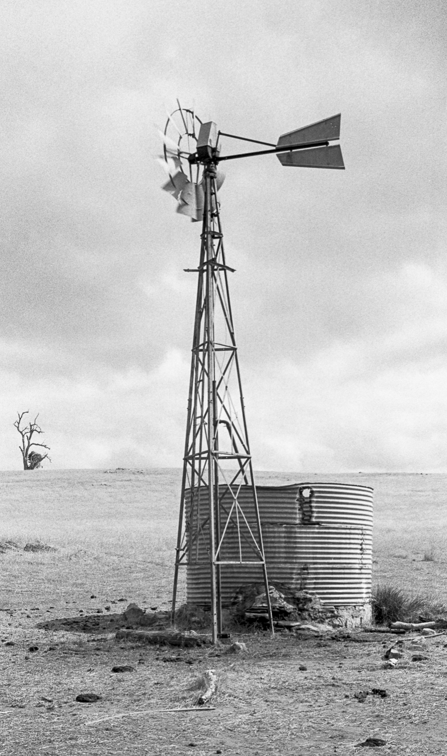
From memory, this picture would have been made with a Leicaflex SLR whilst I was on the road. It would have been a day trip around the eastern Mt Lofty Ranges in the VW Kombi. It is a sparse landscape with only remnant native vegetation. Land in the region is used predominantly for dryland cropping and grazing. There are two rivers—the Marne and Saunders—that flow from the central Mount Lofty Ranges to the River Murray. There is a history of over-extraction of water from the regions rivers.
2 Responses
Mallee Routes photobook - Mallee Routes
[…] of that exhibition. The includes 35mm black and white images of the South Australia Mallee that I made in the 1980s, and it will have a small […]
Eastern Mt Lofty Ranges – The Bowden Archives and Other Marginalia
[…] recently returned to sites in the eastern Mt Lofty Ranges that I had photographed in during the 1980s. Whilst there I recalled some of the photos that I’d made on the Tungkillo to Palmer […]