In a previous post on this archival blog I had mentioned my shift from street photography to topographics during the 1980s. This shift emerged whilst I was photographing around Osborne, Gillman and Outer Harbor along the Port River estuary on the Le Fevre Peninsula.
This is an example of my topographic approach to industrial type urbanscapes—a wasteland, if you like– that was made in the 1980s:

Another version of the topographical approach to this wasteland or ravaged landscape that was made in the same photo-session is here.
The shift from street photography to topographics is how I have structured my portfolio in the Adelaide Photography 1970-2000 book, which is to be published by Moon Arrow Press in 2019. It is part of the independent photobook movement.
I haven’t been back to this particular part of Gillman for quite a while, so I do not know what it looks like today. There was a lot of commercial landfill –in reality chemical waste (white mounds of calsilt) from the Penrice Soda Products plant that produced soda ash when the waste was no longer allowed to be dumped into the Port River after 2002.
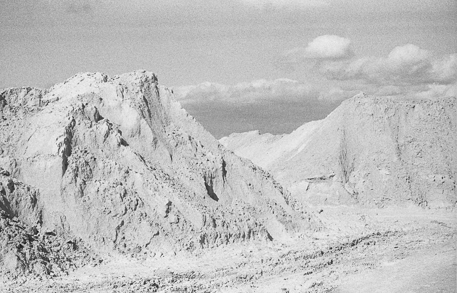
It is contaminated land that is owned by the state government and it is their responsibility to clean up after after the Penrice Soda Products plant closed in 2013.
Gillman is earmarked for industrial development in that the Gillman/LeFevre Peninsula area is consistently mentioned in State economic development strategies as being a key area for future industrial growth and investment.
Leave a Reply