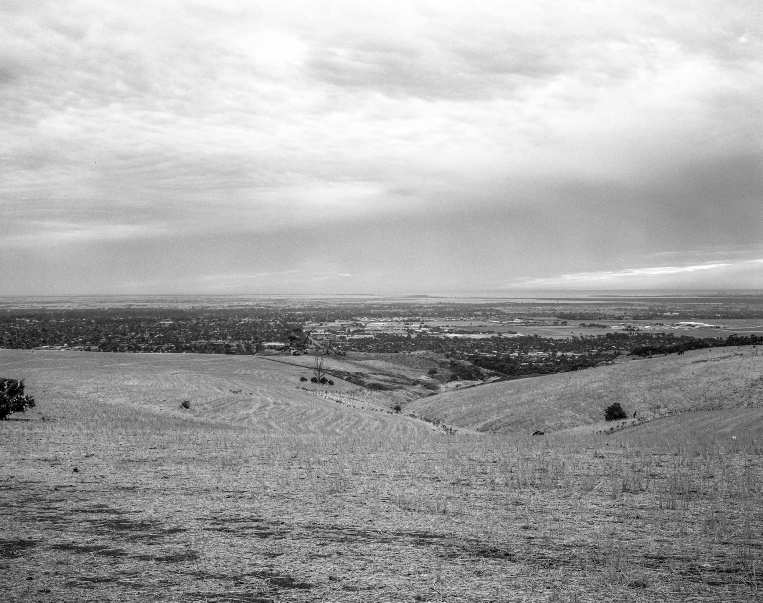
Adelaide is situated on the plains and, as it is bounded by the Mt Lofty Ranges and the ocean, it’s spatial process of development is an expansion north and south from the CBD along the Adelaide plains. The Adelaide plains themselves are quite narrow.

Water does flow down to the plains from the Mt Lofty Ranges, but the city is primarily dependent on the River Murray for its water. Consequently, is vulnerable to climate change — less in the form of bushfires or floods and more to the threat of the declining rain fall that reduces the flows of the river and the impact of rising sea levels on Adelaide’s coastal suburbs. The idea of resilience in responding to crisis, the unexpected and uncertainty caused by the human influence on the natural world comes to the fore. Adelaide is on the way to becoming a 50C city in the Anthropocene and its future looks to be one of shock and disturbance. It could become an unliveable city with climate heating if it doesn’t plant more trees to provide substantial tree cover.
The spatial dimension is important because historically the sea for colonial South Australia meant ships, people and goods arriving at Port Adelaide. The spatial path clears a path to empire to the spatial relations of colony and empire. The development of the colony was premised on mining, grazing and agriculture and the copper wool and wheat were shipped to the UK.
The spatial turn involves a backward glance to the historical relationships between colony and empire. The roadtrips around South Australia would start to map the traces of South Australian’s colonial development as an agricultural outpost of empire.
Leave a Reply