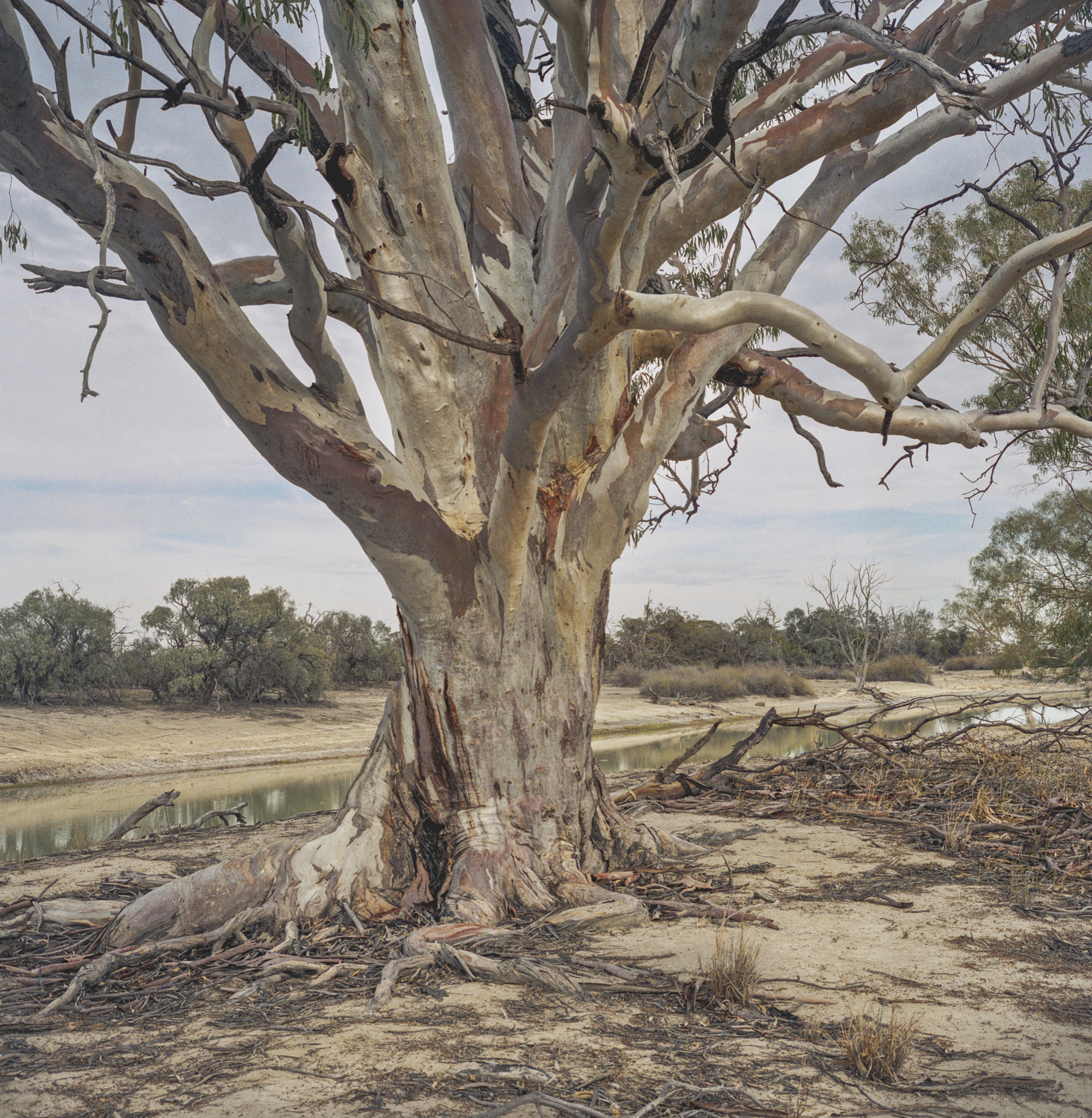
This is another image from one of my visits to the Chowilla Flood Plain in South Australia’s Riverland region. This floodplain was listed as a Wetland of International Importance in 1987 under the Ramsar Convention.

The picture was made with a Linhof Technika 70 in the same year as this image. From memory, it was taken a bit earlier the year. It was around 2004-5 when I was working as a staffer for a federal South Australian Senator. We had gone to see how little water there was on the floodplain during the decade long drought.
We had a picnic lunch by this tree with a local Riverland expert on river flows and trees on the floodplain. Most of the trees in the floodplain (black box and river gums) were dying from lack of water. It was pretty clear then that most of the Chowilla floodplain was going to be sacrificed once the drought broke, and that it would be a sort of no-man’s land between the Mallee country to the south and the riparian zones that the Murray-Darling Basin Authority might be able to save.
What was crucial then was ensuring water security for the irrigators. Despite Australia’s obligations under the RAMSAR Convention irrigators had priority over the environmental flows for the River Murray or protecting the biodiversity of this RAMSAR-listed wetland. The history since the 1960s is one of river regulation and high water extraction for irrigation and human needs causing low river flows, a decline in the health of vegetation and a rise in salinity. That meant this Ramsar site would be allowed to decline.
Leave a Reply