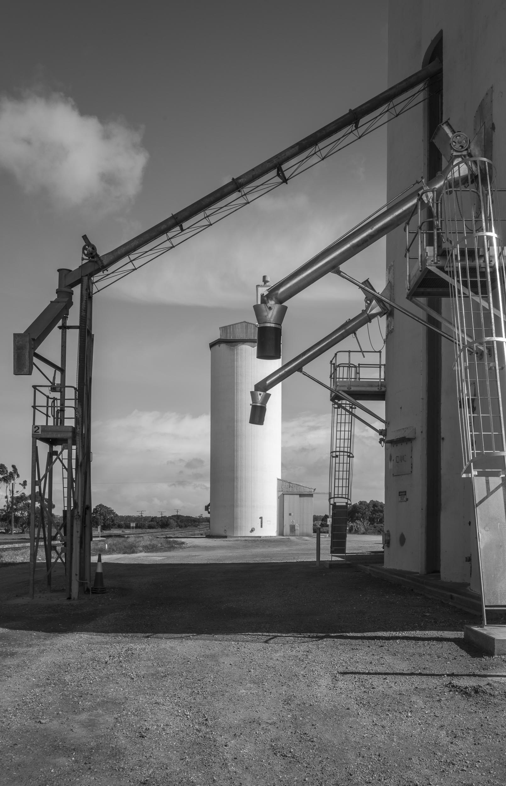
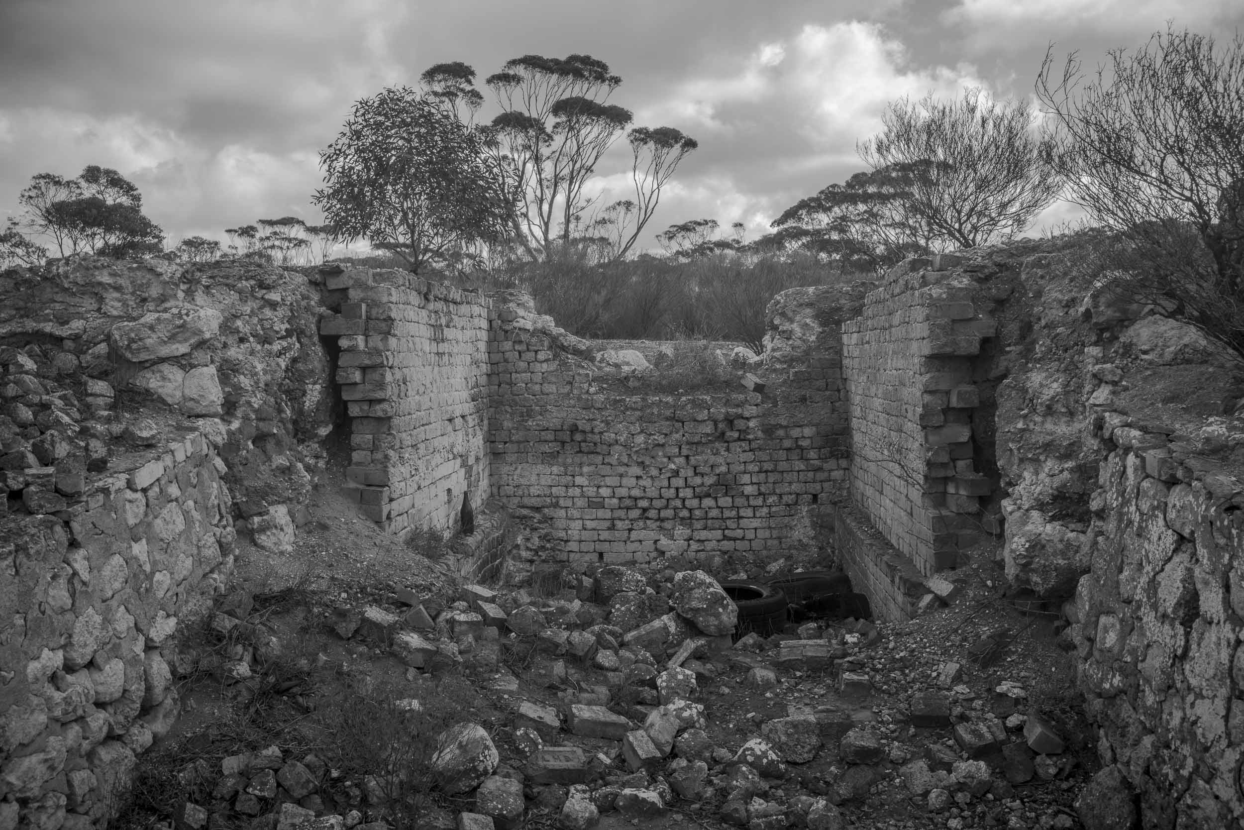
Judging from the photos in the recovered archives I appear to have accessed the Eudunda Rd via Monarto in the Murray Mallee. But why did I go through Monarto rather than via Kapunda?
Maybe I was attracted to, or puzzled by, Monarto being selected as the site of a new supporting town that was designed to address the problems of Adelaide’s rapidly increasing population in the 1970s by the then Dunstan Government in the 1970s. Why Monarto and not Murray Bridge I wondered? Monarto was in the middle of nowhere — in mallee country — so where would the water for the town come from? The Murray?
I don’t have that many large format photos in the archives from these Mt Lofty Ranges road trips. I now wish that I had explored the area more thoroughly, as it is an interesting part of South Australia. Unfortunately, some of the large format negatives that I do have from these roadtrips have been damaged — badly, and cannot be scanned.
Maybe I could re-photograph some of the sites in the damaged negatives? I still have, and continue to use, the large format cameras that I photographed with in the 1980-1990s.


Leave a Reply