The location of the image below of a bare agricultural landscape is the Koonoona Rd at the southern base of the Tothill Range. The location is close to the Huppatz Hut on the Heysen Trail, where the trail turns east to cross the Ranges and winds its way via World’s End to Burra. The picture was made whilst on this roadtrip.
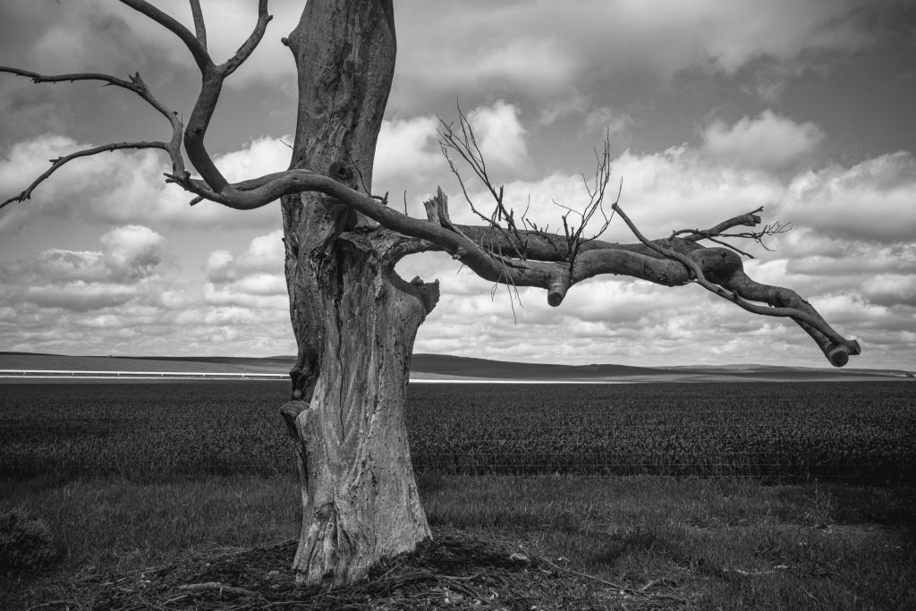
The Morgan-Whyalla pipeline, which can seen in the background, was initially constructed between 1940-1944 by Thomas Playford, the SA Premier and conservative moderniser, to industrialise the Mid-North during World War 2. Playford provided the water infrastructure for BHP’s steel works and shipbuilding plant at Whyalla. The latter closed around 1978. A second pipeline to the Upper Spencer Gulf was built in the 1960s. With its shipyard and steel works Whyalla was an industrial center or hub in the mid-20th century. WW2 was the catalyst for industrialisation.
One Response
near Robertstown - The Bowden Archives and Industrial Modernity
[…] Port Augusta and Whyalla were dependent on water being piped from the River Murray. This was the Morgan-Whyalla pipeline that went via the mid-north of SA (ie., Burra, Spalding and Crystal […]